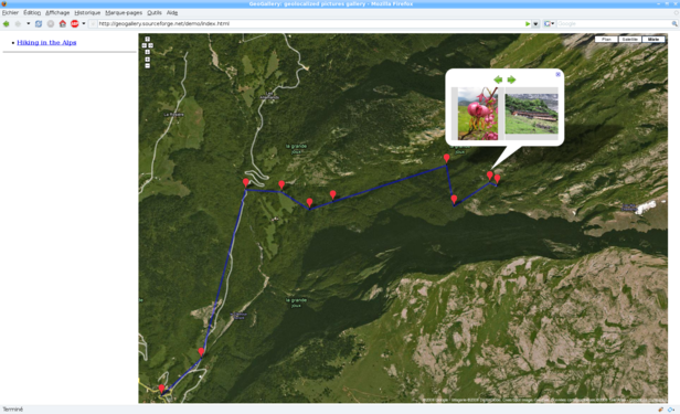
GeoGallery generates an HTML photo gallery. It expects (at least some of) the photos to be geolocalized and displays them on a world map, showing where they where taken. Geolocalization can be done on a per-photo basis (using EXIF tags) or on a per-directory basis (allowing a user to quickly geolocalize a whole directory by simply editing a configuration file).
GeoGallery generates a set of HTML pages showing a gallery of your picture collection, which uses the Google Maps javascript API to display the pictures on a world map. The generated gallery is purely static, so that it can be viewed locally (e.g. from a hard disk or a USB key) as well as be uploaded to a website (without needing complicated services like PHP or mySQL).
This software is still in the early stages of its development, but here is an example of
what it should look like (click on the image to see a live demo):

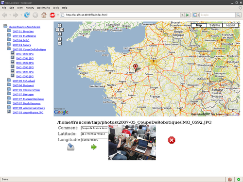
GeoGallery comes with a graphical tool, GeoLocalizer, which allows easy manual geolocalization of the photos by simply clicking on a map (which is useful if you don't own a GPS-able digital camera).
GeoLocalizer is a bit more advanced than GeoGallery, and is almost usable now. Here is a
screenshot (click on the image to enlarge it):

Advantages over existing solutions are: